Google Goes Diving, “Sea View” Added To Google Maps

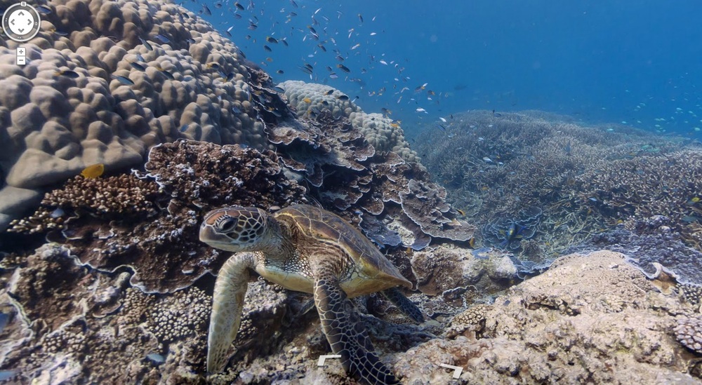
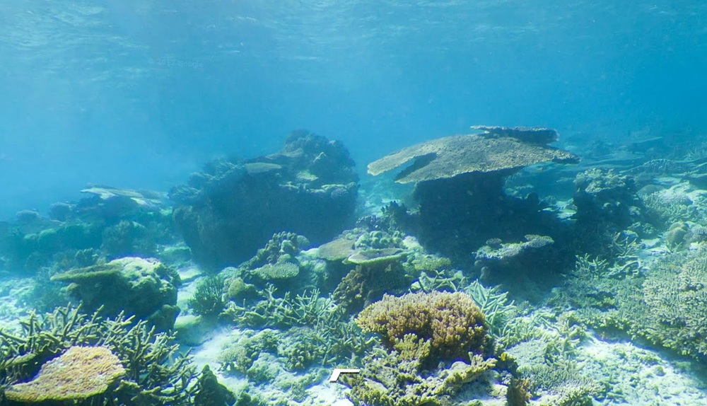
While Apple iOS6 users are still figuring out which motorway exit to take, Google is pushing even further ahead with a brand-new update to Google Maps, allowing us all to head below the water line and take in some quite breathtaking views of the Great Barrier Reef and other popular underwater spots around Hawaii and the Philippines.
Having conquered urban, rural areas and those even further off the beaten track – Google expanded Street View earlier this year by equipping hikers with backpack-mounted multi-lens equipment to reach places only accessible by foot – the search giant’s journey to the ocean bed was always the next logical step, but that doesn’t make it any less impressive.
 As Google says in a blog post; “With these vibrant and stunning photos you don’t have to be a scuba diver—or even know how to swim—to explore and experience six of the ocean’s most incredible living coral reefs. Now, anyone can become the next virtual Jacques Cousteau and dive with sea turtles, fish and manta rays in Australia, the Philippines and Hawaii.”
Partnering with The Catlin Seaview Survey, divers used a special one-off multi-lens camera called the SVII and swam at around 4 kilometres an hour to capture the remarkable underwater shots. Though footage is so far a brief glimpse at just a few of the world’s most beautiful coral reefs, you’d have to put faith in Google that other locations are just around the corner. A dive into the murky water of Skegness, anyone? Until then, how about a dive at Lady Elliot Island along the Great Barrier Reef; or a swim along Molokini Crater in Maui, Hawaii?
The world, quite literally, is Google’s oyster.
Richard Birkett